La Chauzière
Add to my favorites

Route opened
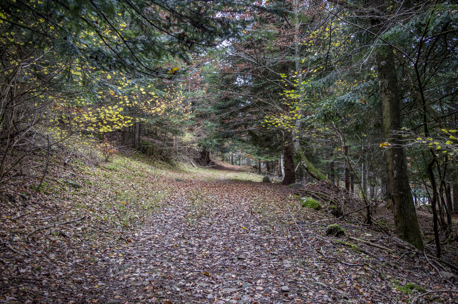
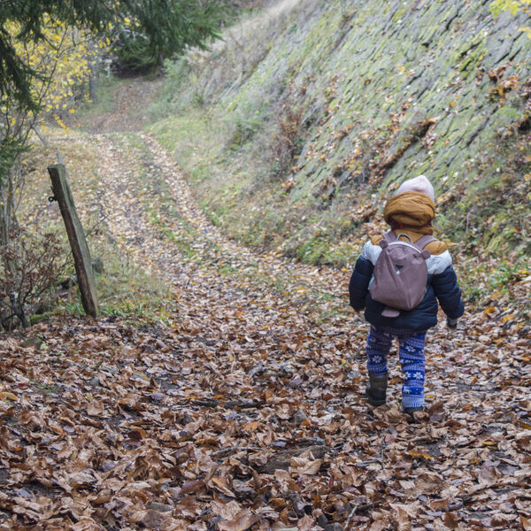
A pleasant hike along the valley floor, then into the Belles Aigues forest, where you'll enjoy views over the valley and perhaps come across some local wildlife (roe deer, doe, stag, squirrel...) - just be discreet!
The characteristics of the route.
Laveissière (15)
- Distance 9.4 km
- Elevation gain 240 m
- Elevation lost 240 m
- Min. elevation 900 m
- Max. elevation. 1082 m
- Duration (depending on pace) 2h
- Marking Yes
Marking : Yellow markings.Equipments : Play area, Picnic area, Barbecue, Car park, Free car park, Good plans : -For your safety, please check the weather forecast before setting off on your hike. -To preserve the environment in which you are located, please avoid leaving garbage in nature. -Remember to take the appropriate equipment for the weather conditions and the hiking itinerary (hiking boots, water bottle, cap, sunglasses, jacket...).Admission fee : Free access.Opening : All year round.
Subject to favorable weather.
Report a problem Add a comment
Website Pdf file
Add your time and share your feelings
Services nearby

Bellevue Hotel
Laveissière
Odeau Daniel
Laveissière
Farges Vincent
Laveissière

Pine trees at Le Vallagnon campsite
Laveissière

Campsite - Le Vallagnon
Laveissière


Information updated on 2023-05-09 by Hautes Terres Tourisme


Contact Carladès area
Carladès Tourist Office
Avenue A. Mercier
15800 Vic-sur-Cère
Tel. 04.71.47.50.68
Carladès Tourisme
tourisme@carlades.fr
![]()
Contact Hautes Terres area
Hautes Terres Tourist Office
Pl. Hôtel de ville - 15300 Murat
Tel. 04.71.20.09.47
Hautes Terres Tourisme
contact@hautesterrestourisme.fr
@hautesterrestourisme
@hautesterrestourisme


OK
Annuler