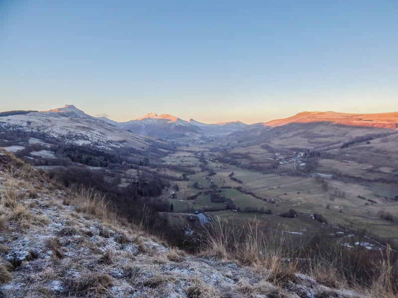
The Santoire valley
Add to my favorites

Route opened
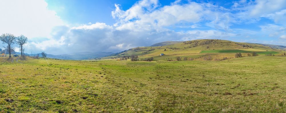
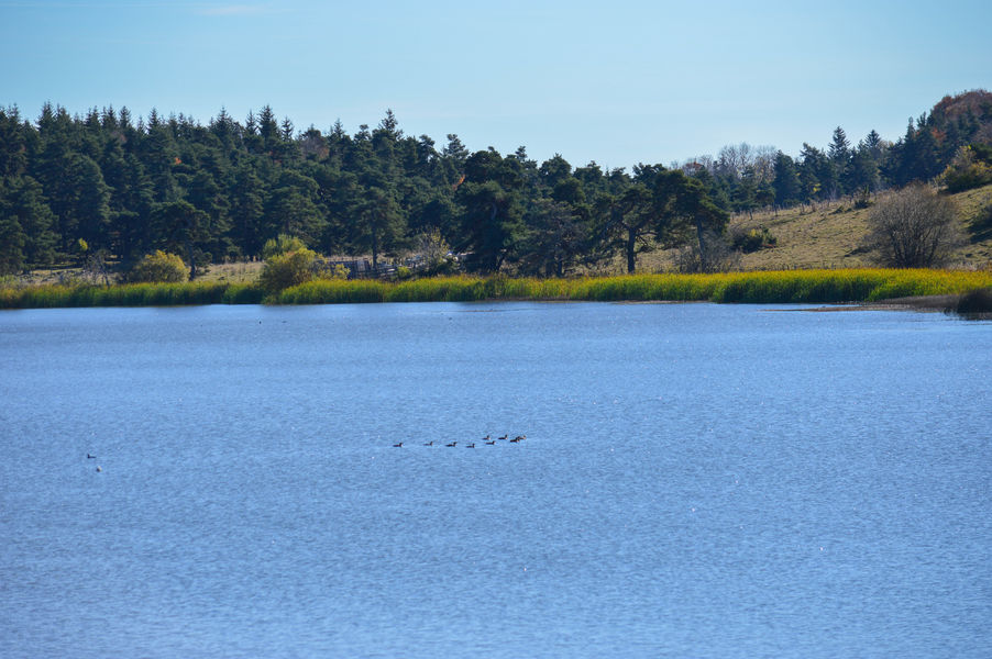
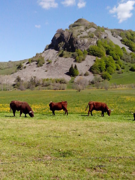
Over 2 days this hike is a real wonder with the Lac du Pêcher, the Lac Sauvage and the Frau de Collanges. The Croix du Gendarme, the Limon plateau and the Laqueuille rock offer a view of the Monts du Cantal and the Santoire valley.
The characteristics of the route.
Dienne (15)
- Distance 42.6 km
- Elevation gain 940 m
- Elevation lost 940 m
- Min. elevation 1023 m
- Max. elevation. 1346 m
- Duration (depending on pace) 48h
- Marking Yes
Marking : WE 2.Equipments : Car park, Free car park, Picnic area, Good plans : -For your safety, please check the weather forecast before setting off on your hike. -To preserve the environment in which you are located, please avoid leaving garbage in nature. -Remember to take the appropriate equipment for the weather conditions and the hiking itinerary (hiking boots, water bottle, cap, sunglasses, jacket...).Admission fee : Free access.Opening : All year round.
Subject to favorable weather.
Report a problem Add a comment
Website Pdf file
Add your time and share your feelings
Services nearby
Nature Moments
Neussargues en Pinatelle

Stopover-gite - Bed and Nature
Neussargues en Pinatelle
Equestrian centre in the Pinatelle
Neussargues en Pinatelle
La Grange des Huskies
Neussargues en Pinatelle
Natur'O'Col - Les Traîneaux de la Roche du Pic
Neussargues en Pinatelle


Information updated on 2023-09-25 by Hautes Terres Tourisme


Contact Carladès area
Carladès Tourist Office
Avenue A. Mercier
15800 Vic-sur-Cère
Tel. 04.71.47.50.68
Carladès Tourisme
tourisme@carlades.fr
![]()
Contact Hautes Terres area
Hautes Terres Tourist Office
Pl. Hôtel de ville - 15300 Murat
Tel. 04.71.20.09.47
Hautes Terres Tourisme
contact@hautesterrestourisme.fr
@hautesterrestourisme
@hautesterrestourisme


OK
Annuler