The Carladès Plateaus
Add to my favorites

Route opened
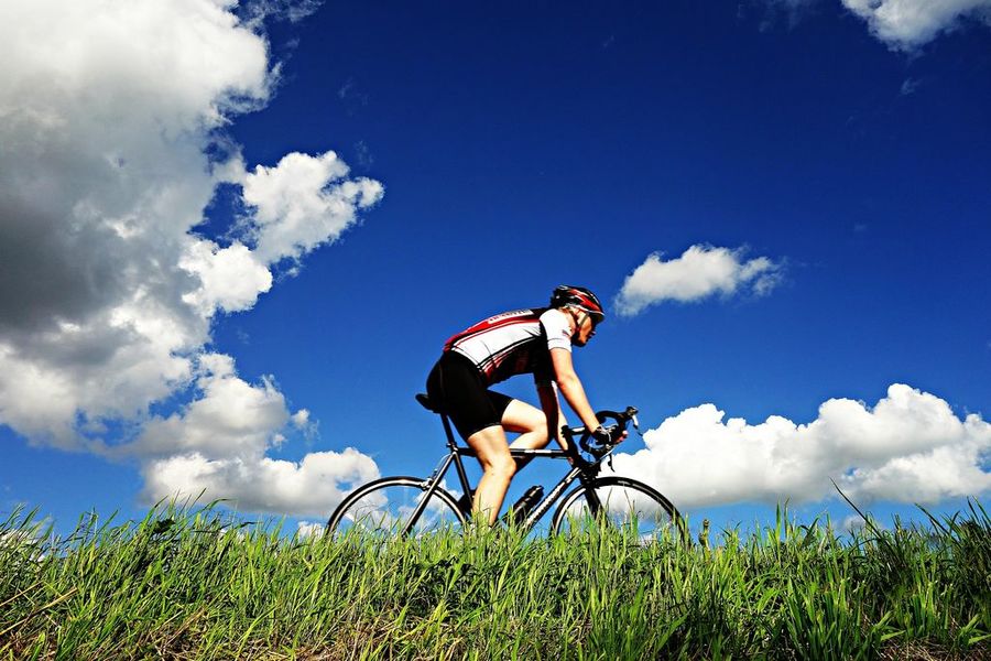
To help you discover the authentic charm of its highlands, Carladès welcomes you to its two valleys—one lush and green, the other more rugged—through which the Cère and Goul rivers flow…
The characteristics of the route.
Vic-sur-Cère (15)
- Distance 50.2 km
- Elevation gain 1060 m
- Elevation lost 1060 m
- Min. elevation 660 m
- Max. elevation. 1073 m
- Duration (depending on pace) 4h45
- Marking No
The Carladès region stands out for its exceptional location in the heart of Europe’s largest stratovolcano, whose summit is the Plomb du Cantal at 1,855 m. A region with a rich historical past, it is home to natural treasures (waterfalls, rivers, mountain flowers, rocks…) as well as a wealth of architectural heritage (churches, castles, wayside crosses, burons—houses where cheese is made—barns, and Auvergne-style houses with schist slate roofs...) that define its landscape! Here, all five senses come alive: look, listen, smell, touch, and taste...Admission fee : Free access.Opening : All year round daily.
Subject to favorable weather.
Area : Vic-sur-Cère
Report a problem
Website
Add your time and share your feelings
Services nearby
Escale Verticale
Vic-sur-Cère
Office de Tourisme du Carlades - Location de Matériel
Vic-sur-Cère
La Marmotte
Vic-sur-Cère
The Beauséjour
Vic-sur-Cère

Le Beauséjour
Vic-sur-Cère


Information updated on 2026-06-19 by Office de Tourisme du Carladès


Follow us on
the digital trails
the digital trails


![]()
Contact
Carladès Tourist Office
Avenue A. Mercier
15800 Vic-sur-Cère
Tel. 04.71.47.50.68
Carladès Tourisme
tourisme@carlades.fr
 Espace Trail Carladès - Parcours - The Carladès Plateaus
Hello, world! This is a toast message.
Espace Trail Carladès - Parcours - The Carladès Plateaus
Hello, world! This is a toast message.
Espace Trail Carladès - Parcours - The Carladès Plateaus
Hello, world! This is a toast message.


OK
Annuler