Cycling. From the Cézallier plateaux to the Alagnon country - route 2
Add to my favorites

Route opened
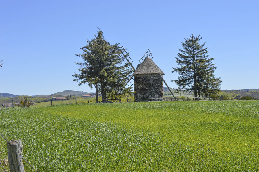
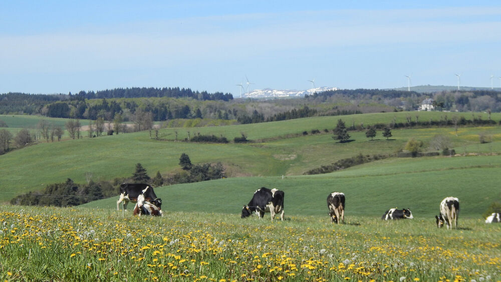
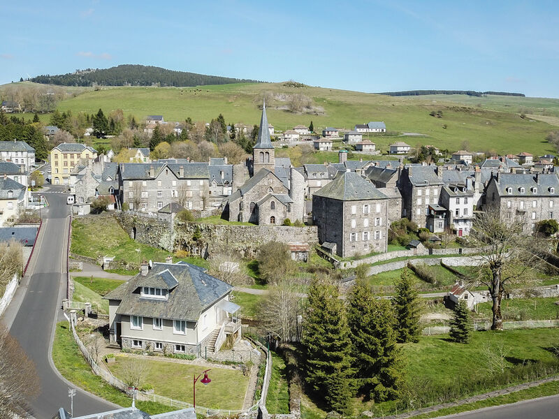
From the Cézallier to the Cantal mountains, from the Alagnon and Sianne valleys to the foothills of the Margeride, an alternation of new and varied landscapes, surprising and relaxing except for your legs (total vertical drop 4000 m).
The characteristics of the route.
Allanche (15)
- Distance 125.9 km
- Elevation gain 3630 m
- Elevation lost 3620 m
- Min. elevation 0 m
- Max. elevation. 1229 m
- Duration (depending on pace) 10h20
- Marking No
Equipments : Car park, Public WC, Admission fee : Free access.Opening : All year round.
Subject to favorable weather.
Report a problem Add a comment
Website
Add your time and share your feelings
Services nearby
B&B - La Verte Salamandre
Allanche
B&B - L'eau berge
Allanche

Veyrond Michèle
Allanche

Allanche municipal motorhome park
Allanche
Veyrond Joëlle and Patrick
Allanche


Information updated on 2021-03-26 by Hautes Terres Tourisme


Contact Carladès area
Carladès Tourist Office
Avenue A. Mercier
15800 Vic-sur-Cère
Tel. 04.71.47.50.68
Carladès Tourisme
tourisme@carlades.fr
![]()
Contact Hautes Terres area
Hautes Terres Tourist Office
Pl. Hôtel de ville - 15300 Murat
Tel. 04.71.20.09.47
Hautes Terres Tourisme
contact@hautesterrestourisme.fr
@hautesterrestourisme
@hautesterrestourisme


OK
Annuler