La Pinatelle Sud
Add to my favorites

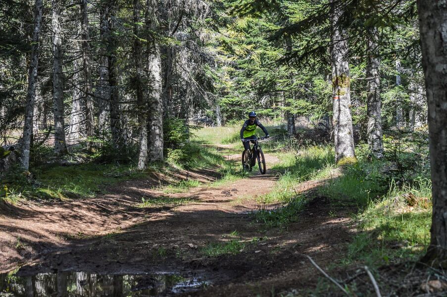
Difficult red circuit: landscape and forest. FOR MOUNTAIN BIKERS. Itinerary suitable for VTTAE (blue level: moderate).
The characteristics of the route.

Neussargues en Pinatelle (15)
- Distance 21 km
- Elevation gain 340 m
- Elevation lost 330 m
- Min. elevation 1058 m
- Max. elevation. 1240 m
- Duration (depending on pace) 3h
- Marking Yes
Marking : Red markings.Equipments : Parking nearby, Admission fee : Free access.Opening : All year round.
Subject to favorable weather.
Report a problem Add a comment
Website Pdf file
Add your time and share your feelings
Services nearby
Nature Moments
Neussargues en Pinatelle

Stopover-gite - Bed and Nature
Neussargues en Pinatelle
Equestrian centre in the Pinatelle
Neussargues en Pinatelle
La Grange des Huskies
Neussargues en Pinatelle
Natur'O'Col - Les Traîneaux de la Roche du Pic
Neussargues en Pinatelle


Information updated on 2022-05-23 by Hautes Terres Tourisme


Contact Carladès area
Carladès Tourist Office
Avenue A. Mercier
15800 Vic-sur-Cère
Tel. 04.71.47.50.68
Carladès Tourisme
tourisme@carlades.fr
![]()
Contact Hautes Terres area
Hautes Terres Tourist Office
Pl. Hôtel de ville - 15300 Murat
Tel. 04.71.20.09.47
Hautes Terres Tourisme
contact@hautesterrestourisme.fr
@hautesterrestourisme
@hautesterrestourisme


OK
Annuler