The Bonjon Valley
Add to my favorites

Route opened
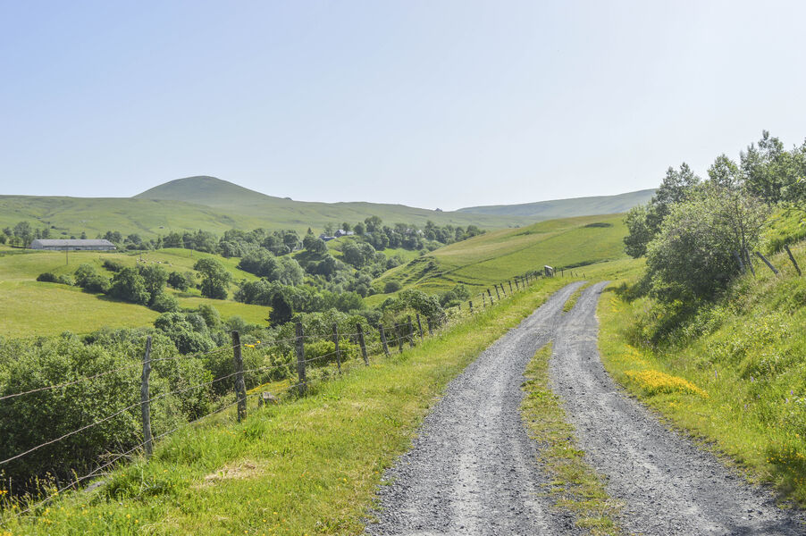
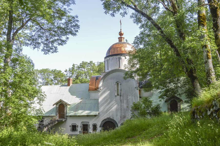
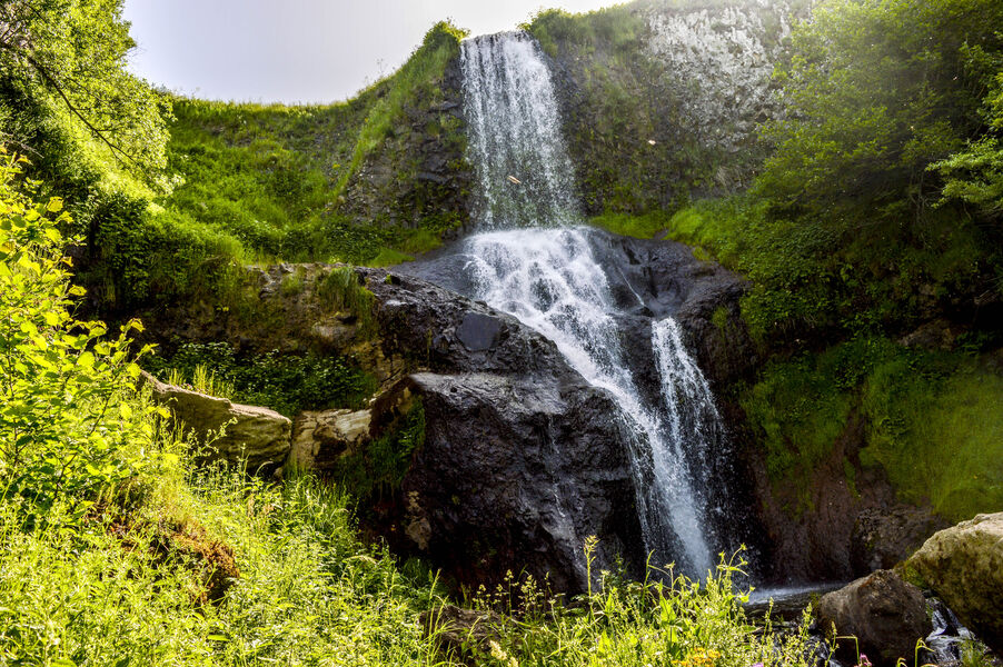
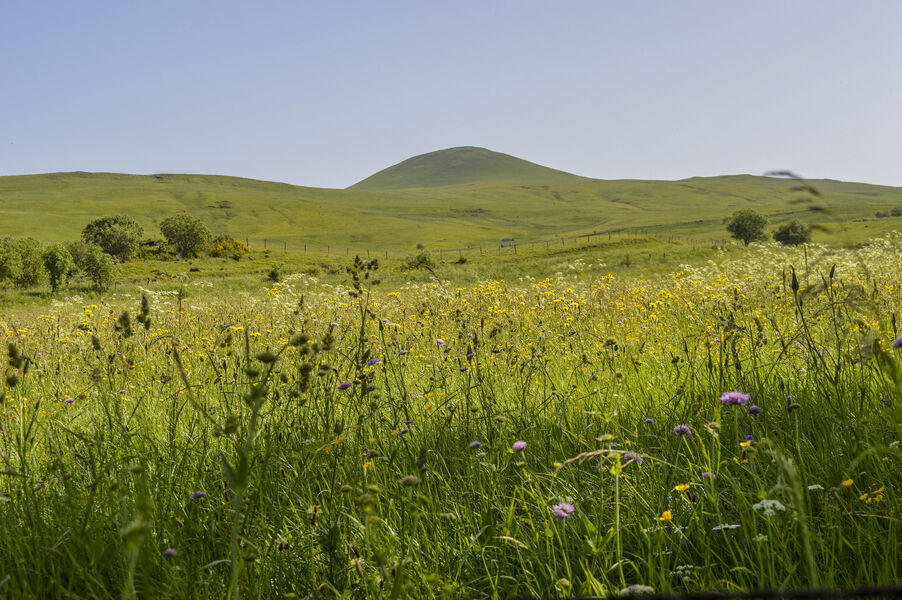
Guided by the Bonjon stream, you'll enjoy a breathtaking view of the Massif du Sancy, Mont Chamaroux and a lovely view of Marcenat, where you can see the dome of the Orthodox monastery.
The characteristics of the route.

Marcenat (15)
- Distance 11.4 km
- Elevation gain 430 m
- Elevation lost 430 m
- Min. elevation 889 m
- Max. elevation. 1133 m
- Duration (depending on pace) 3h30
- Marking Yes
Marking : Yellow markings.
No mountain bikes allowed.Equipments : Free car park, Car park, Picnic area, Play area, Good plans : -For your safety, please check the weather forecast before setting off on your hike. -To preserve the environment in which you are located, please avoid leaving garbage in nature. -Remember to take the appropriate equipment for the weather conditions and the hiking itinerary (hiking boots, water bottle, cap, sunglasses, jacket...).Admission fee : Free access.Opening : All year round.
Report a problem 1 comment
Website Pdf file Stephangi
The 2023/08/12
En savoir plus
Ajouter votre chrono et partager vos sensations
2023/08/12 Stephangi
Bonjour à tous...attention à la sortie du hamau La Renordie. 3 chiens agressifs, je me suis fait mordre par l'un d'eux.
2023/08/12 Stephangi
Bonjour à tous...attention à la sortie du hamau La Renordie. 3 chiens agressifs, je me suis fait mordre par l'un d'eux.
Services nearby

Christian Pelissier
Marcenat
La Maison en Cézallier - Purple
Marcenat
La Maison en Cézallier - Rachael's flat
Marcenat
La maison en Cézallier - London Eye
Marcenat
La maison en Cézallier - Roses
Marcenat


Information updated on 2022-05-20 by Hautes Terres Tourisme


Contact Carladès area
Carladès Tourist Office
Avenue A. Mercier
15800 Vic-sur-Cère
Tel. 04.71.47.50.68
Carladès Tourisme
tourisme@carlades.fr
![]()
Contact Hautes Terres area
Hautes Terres Tourist Office
Pl. Hôtel de ville - 15300 Murat
Tel. 04.71.20.09.47
Hautes Terres Tourisme
contact@hautesterrestourisme.fr
@hautesterrestourisme
@hautesterrestourisme


OK
Annuler