Grande boucle du puy Griou
Add to my favorites

Route closed
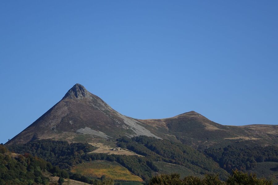
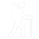
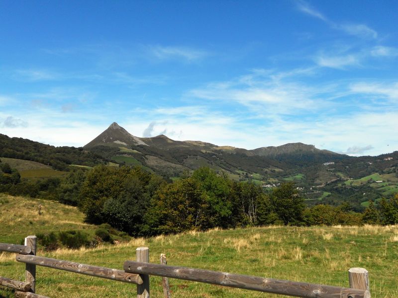
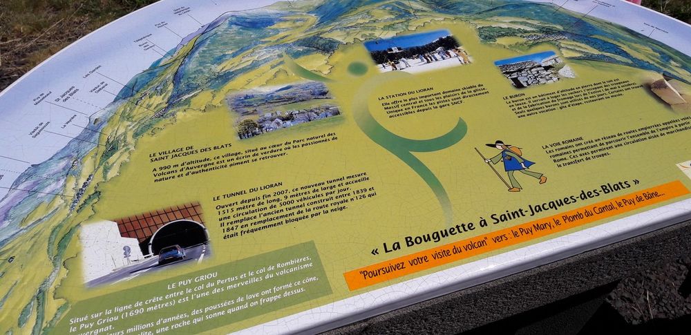
Puy Griou rises to an altitude of 1690m. At the center of the great Cantalien volcano, it is a majestic dome of phonolite, the "stone that sings". Its summit features the original structure of regular prisms.
The characteristics of the route.
Saint-Jacques-des-Blats (15)
- Distance 15.28 km
- Elevation gain 820 m
- Elevation lost 820 m
- Min. elevation 977 m
- Max. elevation. 1656 m
- Duration (depending on pace) 5h
- Marking Yes
The start sign is just below the church. Take the road up through the village, past the Croix Jacquaire, then join the RN122. Follow this road for a few dozen metres before crossing it to take the small road towards Col du Pertus and Mandailles.
Climb for a few dozen metres, then take the path on your right, then follow a grassy path that winds up to the La Bouguette viewpoint.
Turn right and follow the path, with Puy Griou in front of you. The path takes you to the Col du Gliziou, then continues uphill to join the GR400 at the foot of Puy Griou.
Walk around this superb rock cone.
You can climb Puy Griou, but beware: it's vertiginous and quite technical!
Descend to the Vacherie du Griou, through the scree, to return to Les Chazes.
From the Hameau des Chazes, you reach Les Boissines, then continue to cross the RN122. Then take the narrow road back to St Jacques des Blats and your starting point.Marking : Marked in greenEquipments : Car park, Delicate passages : Ascent of Puy Griou (vertiginous trail) Be careful, the route crosses the RN122: be very careful!Admission fee : Free access.Opening : All year round daily. Subject to favorable snow and weather conditions.
Read before you go!
Ascent of Puy Griou (vertiginous trail) Be careful, the route crosses the RN122: be very careful!
Ascent of Puy Griou (vertiginous trail) Be careful, the route crosses the RN122: be very careful!
Area : Saint Jacques des Blats
Report a problem
Grande boucle du puy Griou_Saint-Jacques-des-Blats
Add your time and share your feelings
Services nearby

Peyronnet Marie - Au Gigot Poivré
Saint-Jacques-des-Blats
Peyronnet Marie - Au Gigot Poivré
Saint-Jacques-des-Blats

Camping des Blats
Saint-Jacques-des-Blats
Maison de montagne Lélou
Saint-Jacques-des-Blats
Gourié Carole et Yannick - Au Chalet de St Jacques
Saint-Jacques-des-Blats


Information updated on 2026-05-27 by Office de Tourisme du Carladès


Follow us on
the digital trails
the digital trails


![]()
Contact
Carladès Tourist Office
Avenue A. Mercier
15800 Vic-sur-Cère
Tel. 04.71.47.50.68
Carladès Tourisme
tourisme@carlades.fr
 Espace Trail Carladès - Parcours - Grande boucle du puy Griou
Hello, world! This is a toast message.
Espace Trail Carladès - Parcours - Grande boucle du puy Griou
Hello, world! This is a toast message.
Espace Trail Carladès - Parcours - Grande boucle du puy Griou
Hello, world! This is a toast message.


OK
Annuler