Boucle de la croix des Lucs
Add to my favorites

Route opened
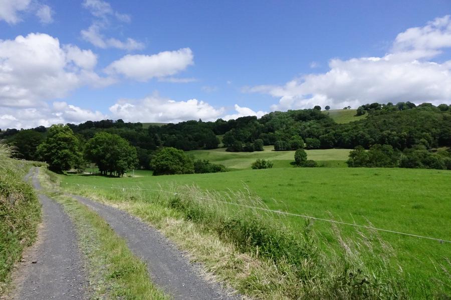
On this tour, you'll find yourself either on the side of a valley (with views of the Rocher de Carlat and rural hamlets), or on the edge of a plateau with beautiful views of the Monts du Cantal and Aubrac.
The characteristics of the route.
Saint-Étienne-de-Carlat (15)
- Distance 9.84 km
- Elevation gain 310 m
- Elevation lost 310 m
- Min. elevation 755 m
- Max. elevation. 907 m
- Duration (depending on pace) 3h30
- Marking Yes
Start from the "Le Carladès" restaurant parking lot.
Take the D201 for 200m, then turn right towards Lasportes.
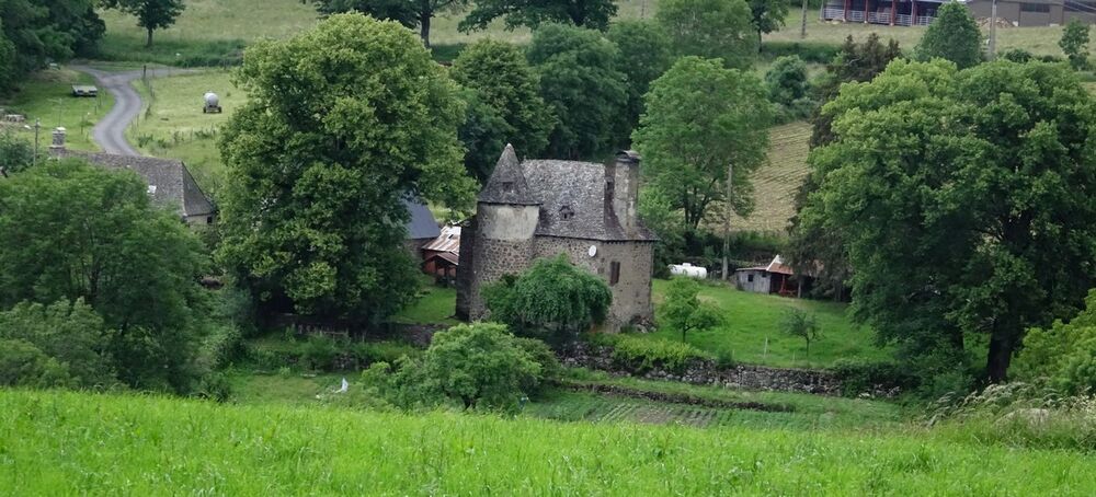
After levelling out, the path rises to the hamlet of Lasportes. At the end of this hamlet, the path leads through meadows to Cazolat (manor house).
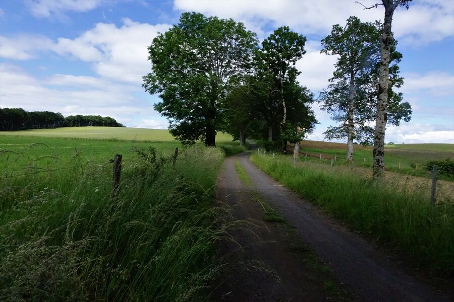
Follow the road to the right until you reach an intersection. You'll come to a wide gravel track that climbs up to the Croix des Lucs.
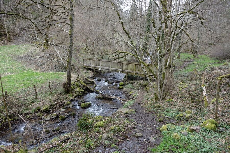
At the cross, turn right towards Escazeaux and left after the fountain. As you leave the village, a path on the right takes you to the edge of a small stream, which you cross by a wooden footbridge. You then climb up through undergrowth and meadows, before descending to the other side. At the road, turn right downhill to Caizac.
Go through the village of Caizac; at the end of the village, take the path on the right which will take you back to St Etienne de Carlat.Marking : Marked in yellowEquipments : Car park, Admission fee : Free access.Opening : All year round daily. Subject to favorable snow and weather conditions.
Take the D201 for 200m, then turn right towards Lasportes.
After levelling out, the path rises to the hamlet of Lasportes. At the end of this hamlet, the path leads through meadows to Cazolat (manor house).
Follow the road to the right until you reach an intersection. You'll come to a wide gravel track that climbs up to the Croix des Lucs.
At the cross, turn right towards Escazeaux and left after the fountain. As you leave the village, a path on the right takes you to the edge of a small stream, which you cross by a wooden footbridge. You then climb up through undergrowth and meadows, before descending to the other side. At the road, turn right downhill to Caizac.
Go through the village of Caizac; at the end of the village, take the path on the right which will take you back to St Etienne de Carlat.Marking : Marked in yellowEquipments : Car park, Admission fee : Free access.Opening : All year round daily. Subject to favorable snow and weather conditions.
Area : Raulhac
Report a problem
Boucle de la croix des Lucs_Saint-Étienne-de-Carlat
Add your time and share your feelings
Services nearby
Ferme Equestre Cheval Découverte - Riding Centre
Polminhac

Les Herbages
Badailhac
La Fourniou
Polminhac
BERTRAND Olivier and Linda- la Fourniou de Julou
Cros-de-Ronesque

Camping du Val de Cère
Polminhac


Information updated on 2026-05-12 by Office de Tourisme du Carladès


Follow us on
the digital trails
the digital trails


![]()
Contact
Carladès Tourist Office
Avenue A. Mercier
15800 Vic-sur-Cère
Tel. 04.71.47.50.68
Carladès Tourisme
tourisme@carlades.fr
 Espace Trail Carladès - Parcours - Boucle de la croix des Lucs
Hello, world! This is a toast message.
Espace Trail Carladès - Parcours - Boucle de la croix des Lucs
Hello, world! This is a toast message.
Espace Trail Carladès - Parcours - Boucle de la croix des Lucs
Hello, world! This is a toast message.


OK
Annuler