La roche du pic
Add to my favorites

Route opened
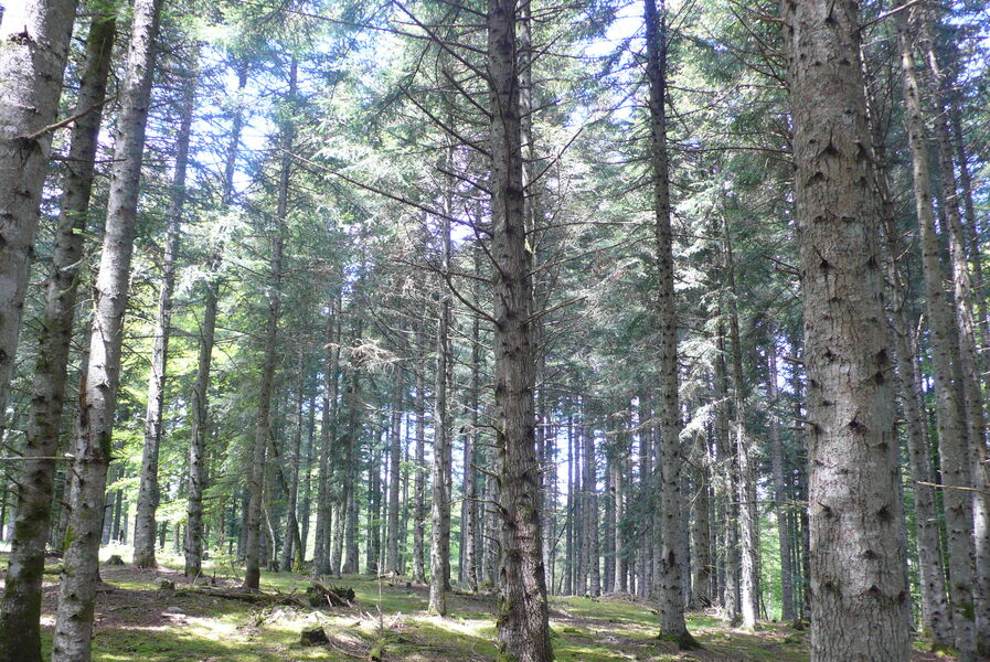
A family hike through the pine trees of the Pinatelle massif will take you to the summit of Roche du Pic at 1261m. An orientation table and 360° viewpoint will give you the opportunity to discover the Monts du Cantal and the Cézallier plateau.
The characteristics of the route.
Neussargues en Pinatelle (15)
- Distance 1.8 km
- Elevation gain 70 m
- Elevation lost 70 m
- Min. elevation 1186 m
- Max. elevation. 1257 m
- Duration (depending on pace) 0h45
- Marking Yes
Marking : Sign for "La roche du Pic".Equipments : Free car park, Car park, Picnic area, Orientation board, Good plans : -For your safety, please check the weather forecast before setting off on your hike. -To preserve the environment in which you are located, please avoid leaving garbage in nature. -Remember to take the appropriate equipment for the weather conditions and the hiking itinerary (hiking boots, water bottle, cap, sunglasses, jacket...).Admission fee : Free access.Opening : All year round.
Subject to favorable weather.
Report a problem Add a comment
Website Pdf file
Add your time and share your feelings
Services nearby
Natur'O'Col - Les Traîneaux de la Roche du Pic
Neussargues en Pinatelle
La Grange des Huskies
Neussargues en Pinatelle
Equestrian centre in the Pinatelle
Neussargues en Pinatelle

Instants d'Absolu - Ecolodge & spa du Lac du Pêcher
Neussargues en Pinatelle

Instants d'absolu - Ecolodge & Spa
Neussargues en Pinatelle


Information updated on 2023-03-21 by Hautes Terres Tourisme


Contact Carladès area
Carladès Tourist Office
Avenue A. Mercier
15800 Vic-sur-Cère
Tel. 04.71.47.50.68
Carladès Tourisme
tourisme@carlades.fr
![]()
Contact Hautes Terres area
Hautes Terres Tourist Office
Pl. Hôtel de ville - 15300 Murat
Tel. 04.71.20.09.47
Hautes Terres Tourisme
contact@hautesterrestourisme.fr
@hautesterrestourisme
@hautesterrestourisme


OK
Annuler