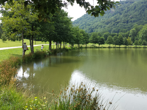
Route 8 green - Les Pindorios
Add to my favorites

Routes will be equiped with marqued signs on spring 2019
Route opened

From the lake of Laveissière, this small route evolves in the forest, offering many views of the glacier valley of the Alagnon and a passage at the bottom of Roche Percée, volcanic curiosity which was a troglodyte habitat in the Middle Ages.
The characteristics of the route.

Laveissière (15)
- Distance 6.7 km
- Elevation gain 320 m
- Elevation lost 320 m
- Min. elevation 925 m
- Max. elevation. 1230 m
- Duration (depending on pace) 0h50 à 1h40
- Marking n°8 green
The last times
Spyke
finished in 01:01:35
The 2024/07/18
En savoir plus
BastienMMC
finished in 00:53:00
The 2023/08/08
En savoir plus
matallain15
finished in 01:10:00
The 2022/08/28
En savoir plus
RedMan
finished in 838:59:59
The 2019/08/27
En savoir plus
Voir tous les chronos
Services nearby

Bellevue Hotel
Laveissière

Odeau Daniel
Laveissière

Farges Vincent
Laveissière

Pine trees at Le Vallagnon campsite
Laveissière

Campsite - Le Vallagnon
Laveissière
OK
Annuler


